The gems of the archipelago
Is it difficult to choose which place to visit in the Kvarken? Here is some tips of the archipelago’s gems for you!
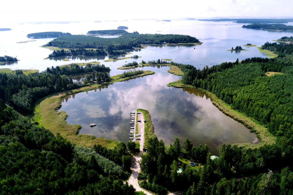
One of the Kvarken’s specialties is definitely the De Geer moraines, or washboard moraines, that form clear streaks in the scenery. You can see these formations best from the observation tower Saltkaret or along the Bodvattnet nature trail.
Below are few of the Kvarken’s gems that demonstrate the geological specialties, nature and culture of the rising land.
Which is your favorite gem?
The famous scenery in Svedjehamn
The rows of red boat houses and De Geer moraine formations form the iconic scenery in Svedjehamn fishing harbour. The idyllic harbour and its surroundings are a great day trip destination when you want to experience the World Heritage’s nature and culture.
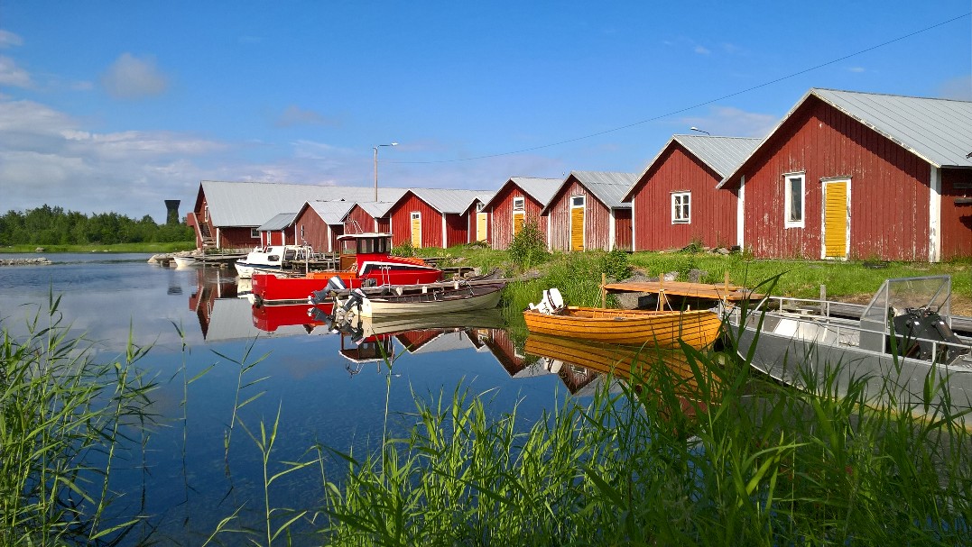
Svedjehamn is not the first fishing harbour in the area. You can find the old Bodback’s fishing harbour along the Bodvattnet nature trail. From the 20-metres high observation tower Saltkaret, you can view the both harbours and the magnificent land uplift scenery. The tower is open year round.
If you want to really feel the archipelago nature, we recommend the Bodvattnet nature trail (about 3,5 km long circular trail) that starts from the harbour. Stop for a picnic at the campfire site near the tower or enjoy refreshments at the Cafe and Restaurant Salteriet in the Svedjehamn harbour. The cozy restaurant building has been a fish salting house until the 1989.
Read more about the Bodvattnet nature trail here.
Archipelago atmosphere continues at the village of Björköby. You can rent a bike from Salteriet and ride through the peaceful roads. Can you notice how the houses are often build on top of the moraine ridges and the fields lie in between the ridges? In the village you can pop in to the village shop, see the old wooden church, play mini golf or hear stories at Mårtes museum.
Accessibility
With for example a wheelchair or a stroller, you can access the harbour area, and the way to the observation tower and Bodback’s old fishing harbour. Both the composting toilets in the area and Salteriet’s toilet have an accessible toilet.
Bunkers and lush forest at Sommarö
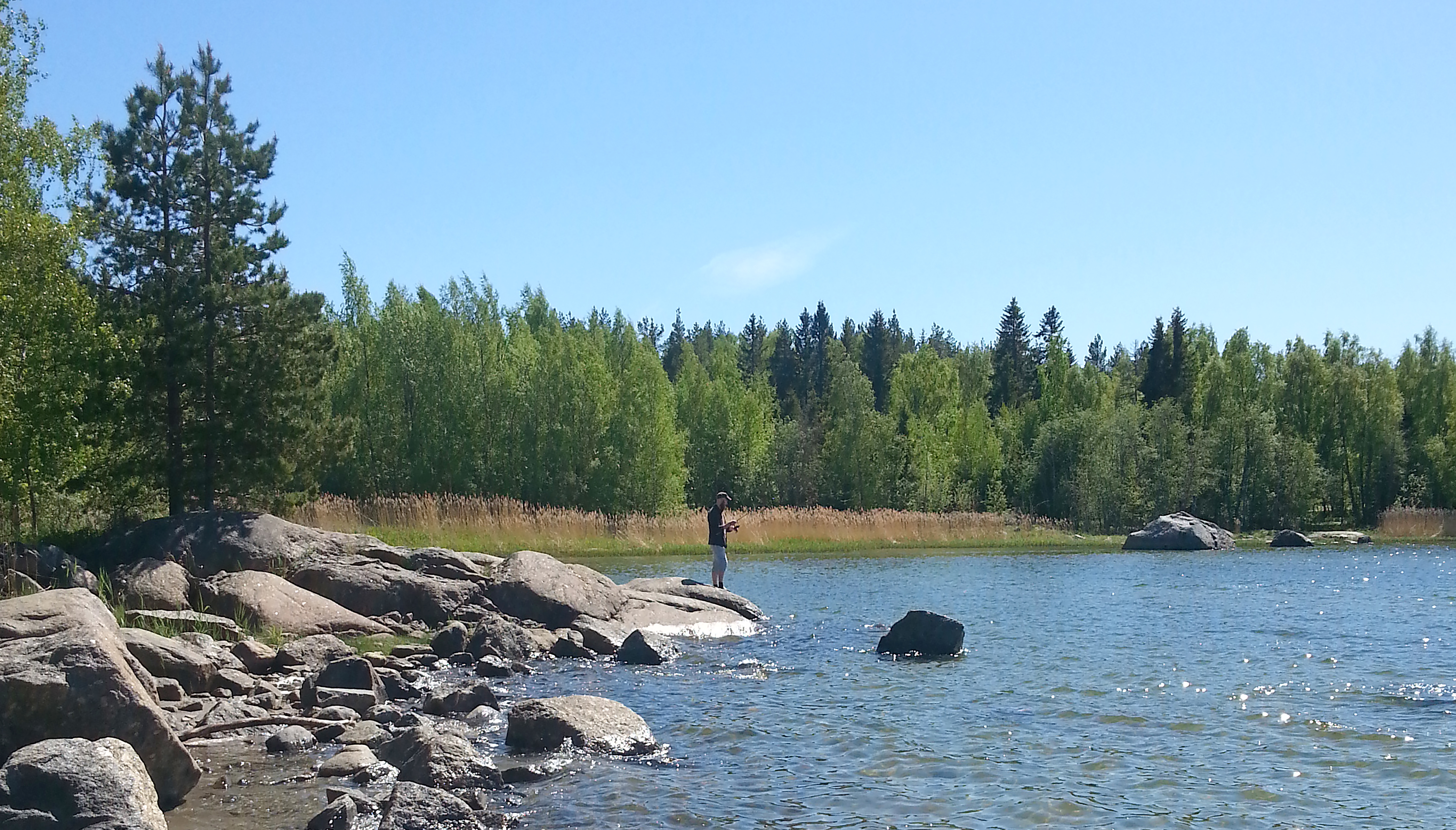
Sommarö fort area was formerly utilised by the Finnish Defence Forces and has an exciting history and varied nature. A nature trail takes the visitor through areas consisting of cliffs, a glo lake, mires, different types of forest and so on. The old bunkers and platforms for artillery weapons remind of the times of the Defence Forces. The renovated guards’ cabin is rented out for schools and nature camps.
The Sommarö Fort area has two campfire sites with firewood, other by the guards’ cabin and the parking area, and other by the sea at the end of the gravel road. In the summer, the gem of Sommarö is definitely the nature’s own beach.
Read more about Sommarö’s area and nature trails here.
Accessibility
Even though the nature trails are not accessible with a wheelchair or a stroller, the gravel roads in the area are accessible.
Rugged scenery in Klobbskat

Right at the other end of the archipelago, at Klobbskat, the scenery changes partly from lush land uplift forests to rugged rocky scenery with low-growing vegetation – almost like in Lapland. Birds thrive in the area, so bring your binoculars!
At Klobbskat, there is a short, about 1 kilometre long nature trail that leaves from the Cafe and Restaurant Compass and climbs up to the Kikanberget viewing point. There is a new observation tower at the beginning of the trail, and in clear weather, you can see the lighthouses of Norrskär, Utgrynnan and Valsörarna islands in the horizon.
Read more about Kikanberget nature trail here.
Services in Klobbskat offer Kalle’s Inn, Kvarken Brewery and Cafe and Restaurant Compass and Odd Inn.
Home of Finland's longest bridge, Replot
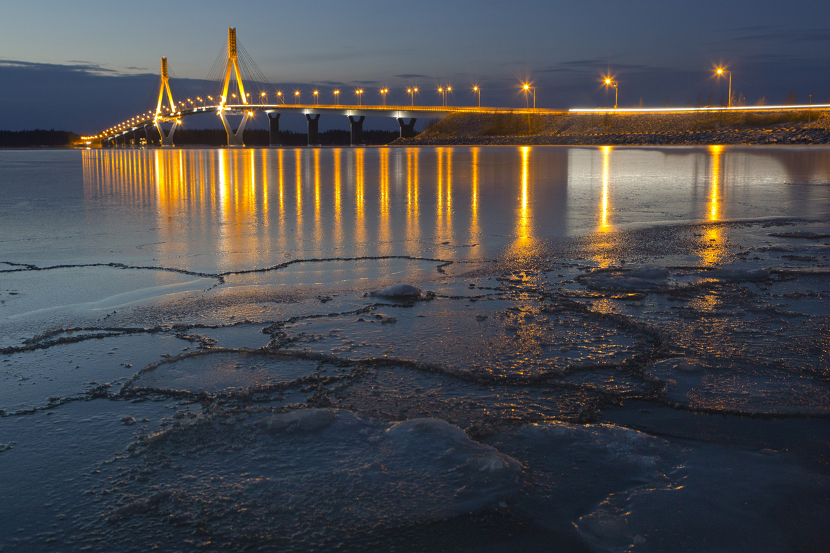
From Finland’s longest bridge, the Replot bridge, opens beautiful scenery. On the left looms Replot harbour with its red boat houses that look like little play houses from the bridge. By the bridge there is the World Heritage Gateway and Restaurant and Cafe Bernys.
After the bridge comes the village of Replot where you can find for example Replot museum. If continue your archipelago expedition beyond Replot, you can shop your picnic food from the grocery store Sale. At the Replot harbour you can enjoy food made from the local fishermen’s catches at Cafe Arken. The harbour has also a swimming beach and if you dare, jump into the water from the diving platform!
You can arrive to Replot also with your own boat. The Replot harbour has guest places, maintenance building with a shower, sauna, washing machine, electricity and pumpout station for septic tanks.
Open wilderness huts
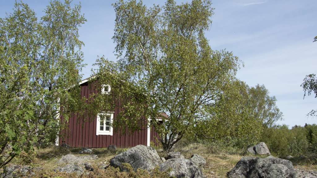
Finnhamn open wilderness hut is rather idyllic for a wilderness hut and a perfect spot for a day trip. The red, former fishermen’s hut is at the end of a 2,5 kilometres long nature trail. The trail starts at the harbour of Vikarskat in Björkö. Along the trail, you will see beautiful land uplift forest, shallow bays and rocky moraine ridges. There is a composting toilet in the hut’s yard.

