
Article categories: Archive News
Risk areas for walking and cycling routes mapped in Vaasa
Published: 19.3.2025
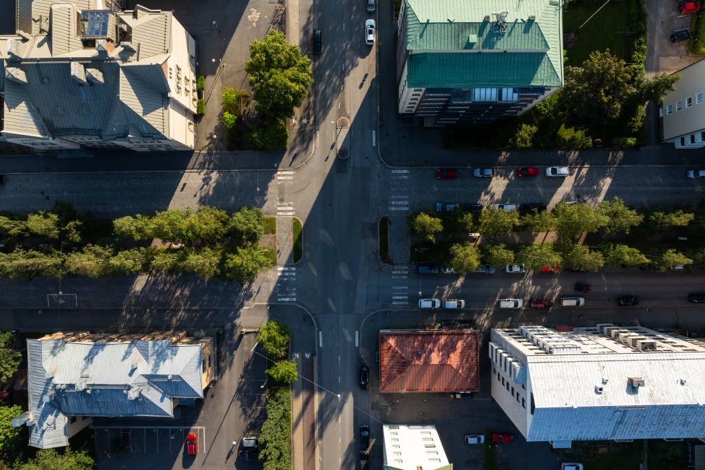
The City of Vaasa aims to develop the urban environment in a way that supports sustainable mobility and reduces emissions. The safety of key walking and cycling routes was assessed in a project run by Traficom and funded through a state grant for road traffic safety.
Walking and cycling are the primary modes of transportation in the centre of Vaasa. While aiming to increase walking and cycling, it is important to ensure that traffic accidents do not increase.
In the project, the key routes in the city were audited using automated 360-degree imaging and field mapping. The audit was based on data collected from accident reports, a resident survey on walking and cycling, and received feedback. The audit focused on the following aspects: traffic safety, traffic flow, accessibility, and infrastructure deficiencies.
Visual obstructions and lighting are key areas for development
From a traffic safety perspective, the main areas for development were poor sightlines from the streets to the cycle lanes and so-called ‘guillotines’, referring to pedestrian crossings that span two lanes of traffic moving in the same direction. Outside the city centre, the main area for development was improving the lighting at intersections and pedestrian crossings.
Traffic safety improvements should be prioritised along school routes and near schools in high-traffic areas. Experts highlighted the importance of this for improving traffic safety. Key areas for development included Raastuvankatu and Koulukatu, both of which have several schools along them.
The danger and significance of traffic safety risks were assessed through expert analysis, theory, and interviews.
The city will take action to implement improvements
The project resulted in a development plan to address key traffic safety risks. The City of Vaasa will do its utmost to promote the improvement of the identified traffic safety risk areas.
The most common development need relates to addressing traffic safety risks caused by visual obstructions. One way to address this is by reducing speed limits, including through structural changes. Alternatively, sightlines can be improved; however, in the city centre, buildings often cause visual obstructions that cannot be removed. In such cases, one option is to enhance sightlines by redesigning the street areas.
Learn more
The project’s final report (PDF in Finnish)
Guideline card: Safety and smoothness audit of pedestrian and cycling paths (PDF in Finnish)