Location and landscape
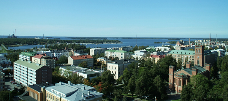
Vaasa is located on the east coast of the Kvarken archipelago in the northern part of the Province of Western Finland, which is situated in the Baltic Sea. The soil is entirely leached from ice age sea waters.
The total area of the town of Vaasa is 397 km². It is made up of a land mass of 180 km² and a water body of 217 km². The total length of the coastline in the survey area is 409 km, of which 80 km is mainland coast and 313 km archipelago coastline. There is also a series of lakes and ponds in the area, where the calculated inland shoreline accounted for a total of only 16 km.
The city is divided by a vast sea bay, the Etäläinen kaupunkiselkä-bay, going in southeast-northwestern direction, which is also a delta area for the Laihia-Tovilanjoki river. The city is mainly built on moraine ridges on the northeastern shore, placing the warm and sunny waterfront zone towards the southwest seashore.
The sea bay opens up towards a sizeable island, Vaskiluoto, and to the north the Pohjoinen Kaupunginselkä-bay (Northern City Bay) and Varisselkä, along which the eastern shore of the city has expanded to the north. A diverse archipelago lies between the city and the open sea. In front of the city centre, at the mouth of the Eteläinen kaupunkiselkä bay, you find Vaskiluoto, a sizeable island, and to the north the Pohjoinen Kaupunginselkä-bay and Varisselkä, along which the eastern shore of the city has expanded to the north. A diverse archipelago lies between the city and the open sea. In the southwest lies Sundom, primarily an agriculturally dominated village area. Both the Öjberget recreational area and the characteristically circular, cultivated crater valley of Söderfjärden are located here.

