Land uplift
The land uplift in the Kvarken-region is estimated at 8.5 mm per year and has great effect on the surrounding landscape and nature. The phenomenon was initially perplexing to the people in the coastal region and mistaken for water reduction. It is now apparent that the ice sheet which covered the area during the last glacial period 10 000 years ago, was pushing down on the earth’s crust. After the ice sheet melted, the crust slowly began to rise, which is the phenomenon that can be observed today as land uplift continues to occur along the sea shores. This fascinating phenomenon occurs throughout the Baltic Sea, however is most concentrated around the Kvarken-region. Calculations indicate that the land mass will have reformed and risen, to such an extent that in 2000 years there will be a land connection to Sweden from Finland.

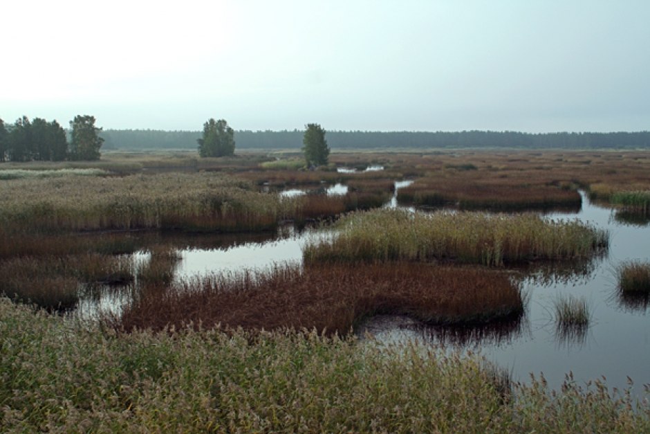
The land uplift and subsequent marine regression results in large areas of emerged virgin land, also profoundly effecting plant and wildlife along the shores. Vegetation zones develop parallel to the water line, in a fashion referred to as a ‘chain of succession’. Various types of grasses and herbs that can withstand being completely submerged periodically grow closest to the water, while hawthorn bushes occur higher up away from the shore. Tree species that are among the first above the shoreline are most usually grey and black alder, as well as various species of willow. Spruce trees grow higher up on drier land and pine trees can be found only in the highest areas. The effects of the land uplift are accelerated further by overgrowth and particles settling on the bottom, i.e- sedimentation.
These types of zones are less visible on built-up waterfronts, however the land uplift is visible based on other characteristics, such as in the docks while they become shallower and old landing-stages that are now situated on dry land. The port of Vaasa has been relocated numerous times due to the land uplift and in Suvilahti old stone docks can be seen further inland. What once was ocean floor is now used as farmlands.
Sea bays often have thresholds towards the surrounding sea and over time these bays become isolated and disconnected from the sea, due to the land uplift. The sea bays always undergo a series of stages of development unless the natural process is disturbed. The sea bay first becomes a flada, with a thin opening towards the sea. When salt water from the sea only reaches the flada during a storm or high tide, it is referred to as a ‘glo-lake’. As time passes, the glo-lake is completely isolated from the sea and gradually becomes covered with wetland vegetation. Flada-and glo-lakes are very important for species diversity in nature, especially in breeding areas for fish, such as the European perch, common roach and northern pike. As these water bodies are enclosed and shallower than the open sea, they are also warmer. Various species of birds and insects also thrive near flada-and glo-lakes.

